Elevation Ruler
A downloadable Foundry VTT package
This module allows the default Foundry measurement ruler to track change in elevation. Elevation can be changed while using the ruler in three ways:
- Manually. Hit the specified hot key (default: '[' to increment and ']' to decrement).
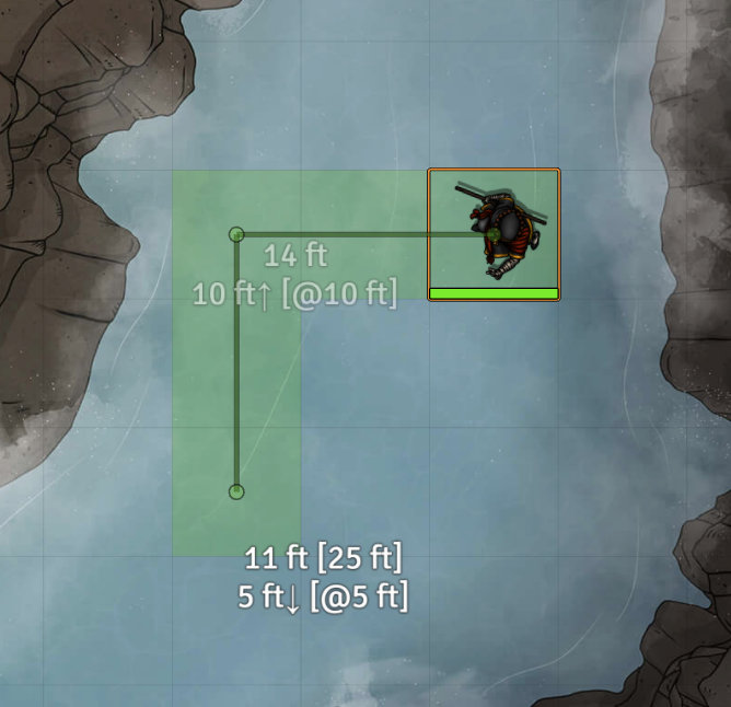
- Token. When hovering over a token with the ruler, the origin or destination elevation (as applicable) will update.
- Enhanced Terrain Layer. If a terrain layer is present with a finite max elevation, that max elevation will be used for the elevation.
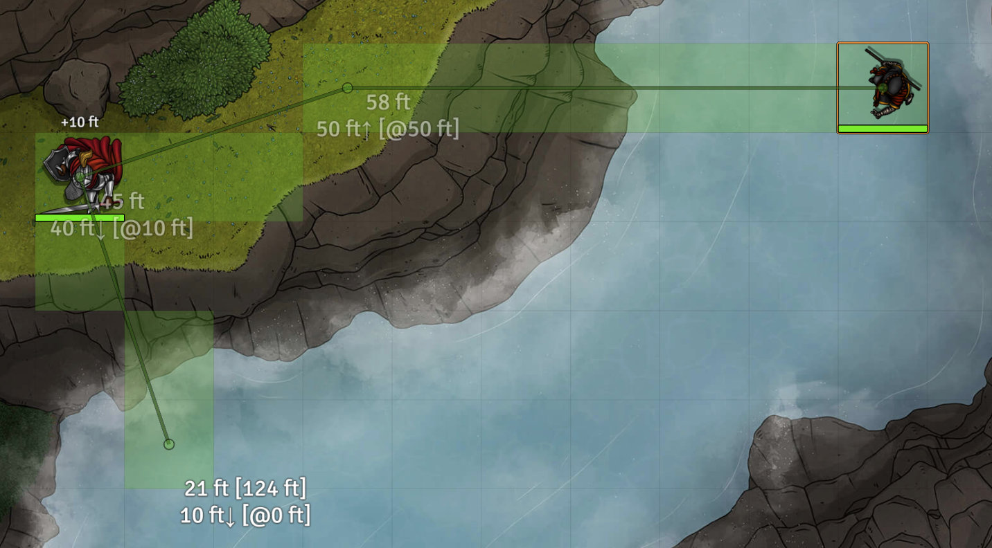
The distance calculation updates based on the distance measured, assuming a straight line in three dimensions between origin and destination, taking into account elevation change.
If you add a waypoint, elevation will be tracked at each waypoint.
If you choose to move the origin token (by hitting spacebar) after measuring, the token elevation will be updated along each waypoint.
See more at the GitHub page for Elevation Ruler. Add this Manifest URL in Foundry to install.
Example measurement in dnd5e:

Example using Terrain measurement and Token measurement:
Or check out this video of the measurement in action.
Leave a comment
Log in with itch.io to leave a comment.